


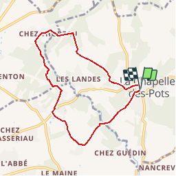

7.2 km | 8.5 km-effort


User


FREE GPS app for hiking
 SityTrail
IGN / Geographical institutes
SityTrail World
The world is yours!
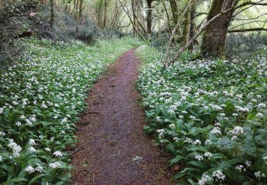
Trail Mountain bike of 7.2 km to be discovered at New Aquitaine, Charente-Maritime, La Chapelle-des-Pots. This trail is proposed by tracegps.
Circuit proposé par la Communauté de Communes du Pays de Santon. Départ de la mairie de La Chapelle-des-Pots. Retrouvez le circuit sur le site de la Communauté de Communes du Pays de Santon.


Equestrian

Walking
Walking
Walking
Mountain bike

Walking
Walking
Walking
Walking